By Priam Nepomuceno
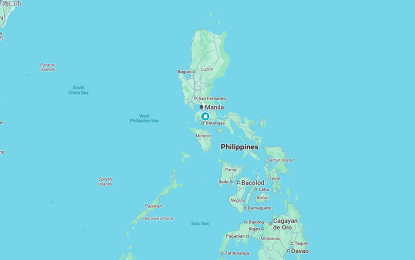
MANILA – The Armed Forces of the Philippines (AFP) on Monday welcomed the inclusion of the West Philippine Sea (WPS) on Google Maps.
In a message to reporters, AFP spokesperson Col. Francel Margareth Padilla said this “affirms international recognition of the country’s sovereign rights” as upheld by the 2016 Arbitral Ruling under the United Nations Convention on the Law of the Sea (UNCLOS).
“As defenders of national sovereignty, the AFP sees this as a valuable contribution to truthful representation and public awareness,” she said.
Padilla said the AFP remains resolute in performing its mandate in protecting the territory and upholding its national integrity.
It was not immediately known when Google Maps entered WPS on its records or database.
WPS refers to waters within the country’s exclusive economic zone on its western side and extending up to 200 nautical miles. The WPS was officially named as such during the term of then President Benigno “Noynoy” Aquino III in 2012.
This was done under Administrative Order No. 29 and signed on Sept. 5, 2012 which declares:
“The maritime areas on the western side of the Philippines are hereby named the West Philippine Sea. These areas include the Luzon Sea as well as waters around, within and adjacent to the Kalayaan Island Group and Bajo de Masinloc, also known as Scarborough Shoal,” it added. (PNA)


